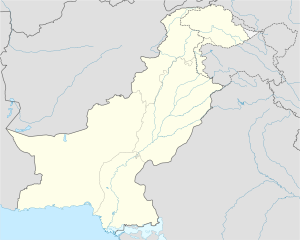
Shakargarh
Note:Informative material on this page is taken from Wikipedia and other informative sites with good faith and intention to help the community wants to know about Shakargarh.
| | |
Demographics
The total area of Shakargarh is approximately 1,272 square kilometres. According to the 1998 census, Narowal District's population was 1,256,097 of which only 12.11% were urban It is an agricultural city, wheat, and rice being its main crops. The literacy rate in Shakargarh is 100% and well known for the highest literacy rate of all Pakistan tehsils.
History
Before the independence of Pakistan, Shakargarh was the headquarters of Shakargarh Tehsil, which formed part of Gurdaspur district (now in India). Under the Radcliffe Award, Shakargarh tehsil was transferred to Pakistan and attached with Sialkot District. However with the creation of Narowal District on 1 July 1991, Shakargarh became tehsil headquarters was included as one of its tehsils. Shakargarh was the gateway of Mughals entering Gordaspur and going to Delhi. Shakargarh is also was the gateway to Kashmir and regarded as the rest point for travellers. One of the main reason for its popularity was and still is its rich and fertile land for wheat and top quality rice cultivation. One of the superior land for rice cultivation in world.
During British Rule Shakargarh Tehsil was an administrative subdivision of Gurdaspur District, in 1947 the majority of the district went to India with Pakistan retaining the tehsil of Shakargarh which then became a subdivision of Sialkot District.
The Imperial Gazetteer of India, written over a hundred years ago during British rule, describes Shakargarh as follows:[2]
Shakargarh.-Tahsīl of Gurdāspur District, Punjab, lying between 32°2' and 32° 30' N. and 74° 57' and 75° 23' E., with an area of 485 square miles (1,260 km2). The Ravi divides it from the rest of the District to the south, while on the north it touches Jammu territory. West of the narrow lowlands along the Ravi, the country is an arid expanse of rolling downs intersected by torrent beds. The population in 1901 was 234,465, compared with 250,336 in 1891. It contains 703 villages, of which Shakargarh is the head-quarters. The land revenue and cesses in 1903-4 amounted to Rs. 4,29,000.Majority of people belongs to Gujjar tribe. also belongs other tribes Insari,Malik,Rajpoot and mughals.

